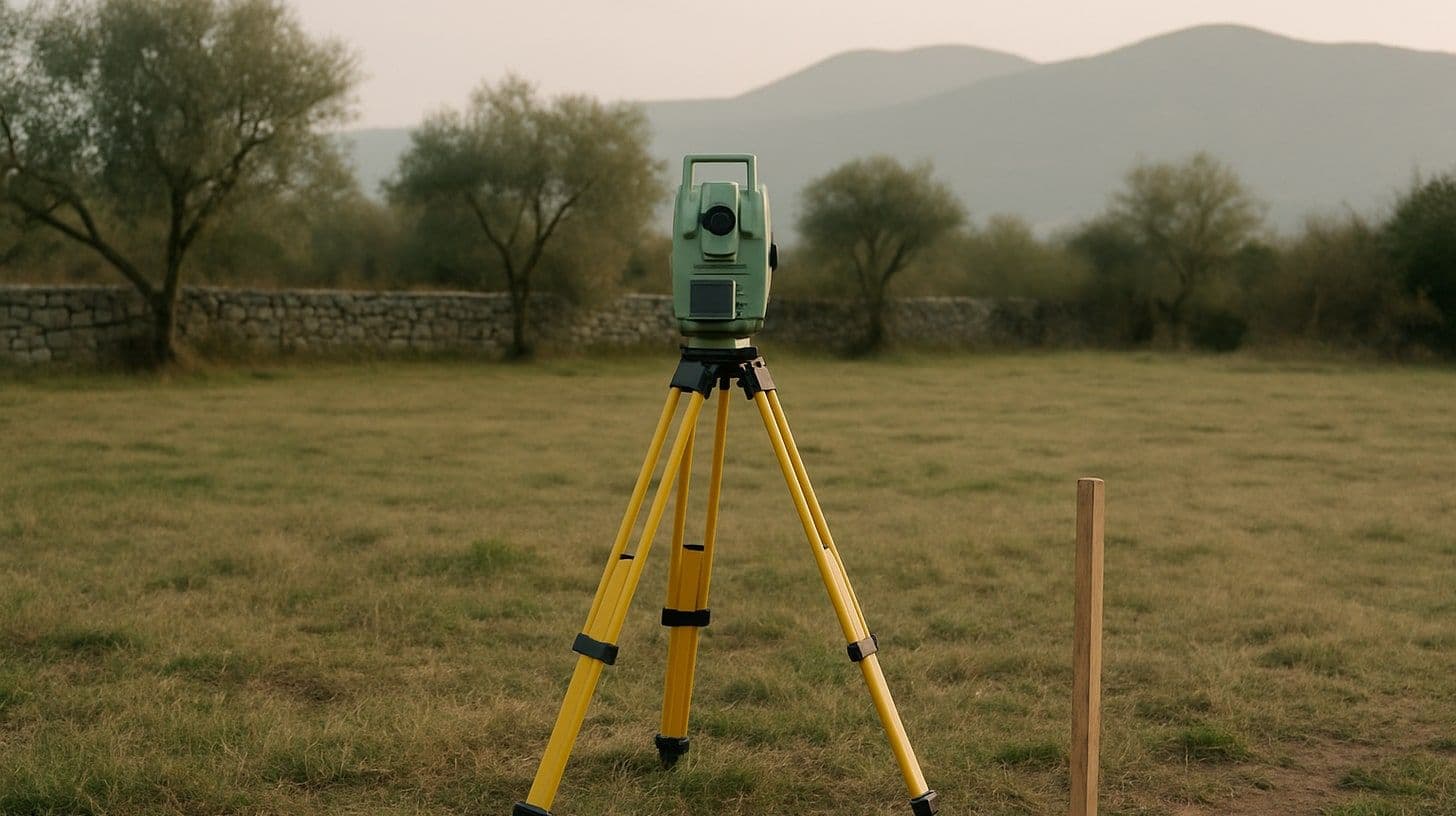
Who splits a plot? A licensed surveying firm prepares the division report, and the cadastre authority reviews it and enters the change by decision.
Local searches show what people want to know about land boundaries: "cijepanje parcele" (splitting a plot) is followed by "postupak" (procedure), "cijena" (price) and "zahtjev" (application), "parcelacija zemljišta" (land parcelling) by "cijena" (price), "geodetski elaborat cijena" (survey report price) by "za upis u katastar" (for cadastre registration) and "izvedenog stanja" (as built), and "utvrđivanje međe" (boundary determination) by "sudskim putem" (through the courts) and "cijena" (price). Behind all these questions stand three laws: the Law on State Survey and Real Estate Cadastre, the Law on Property Relations and the Law on Non-Contentious Proceedings.
This article explains who does survey work and within what deadlines, how a plot is split, when parcelling is allowed, what an urban plot is, how a boundary is settled and who owns a fence or tree on the line.
Who prepares a survey report
Splitting and merging plots, surveying buildings and utility lines, marking out boundaries and identifying a plot are done by a surveying firm licensed by the cadastre authority, with at least one employee of the surveying profession authorised for such work. The person doing the work must show an identity card issued for surveying work when introducing themselves to the owner and when entering the land. The firm works from official cadastre data taken over when the work is registered and may not refuse a client's request without good reason.
| Step | Statutory deadline |
| The owner or investor reports a change to the property | 30 days from the change |
| The surveying firm establishes the change and submits the survey report or the site inspection record | 30 days from registering the work; does not apply to work done under a contract |
| The authority reviews, certifies and returns the report | 30 days from receipt |
| Decision to register the change | After the report is checked |
The costs of establishing and entering changes are borne by the rights holder. The cadastre law does not set the price of a surveying firm's work; it is agreed, so ask for a written quote describing the work. The fees set by the Government apply to data and services of the cadastre itself.
A difference in plot area caused by converting an analogue cadastral map into digital form does not count as a change if it lies within the existing boundaries. The same applies to differences in the area of a separate unit in a building caused by different measurement standards.
Splitting a plot and parcelling
Division and merger of cadastral plots are changes entered when the cadastre is maintained. The December 2025 amendments added parcelling to the same list, with a new rule: parcelling of cadastral plots covered by a planning document is allowed only if those plots have not been developed for their designated use and have no buildings on them.
Anyone who buys part of a plot without a division does not become owner of a defined area but co-owner of the whole plot in an undivided share, in proportion to the whole. What co-ownership means for a sale and the right of first refusal is explained in our article on co-ownership.
Cadastral plot and urban plot
A cadastral plot is a unit in the cadastre. Under the Law on Spatial Development, an urban plot is a single area made of one polygon which, following the parcelling rules of the planning document, covers one or more cadastral plots or parts of them and meets the conditions for building.
- Access. An urban plot must have secured vehicle access from a city street or public road. The exceptions are old town centres and difficult terrain with existing buildings, where pedestrian or bicycle access is enough.
- Transfer of the plan. The cadastre must transfer the parcelling plan from the planning document onto the cadastral maps within 30 days of receiving the document.
- Completing the plot. The owner of a cadastral plot must accept changes to the boundaries of the urban plot in line with the parcelling plan. If an urban plot covers plots of several owners, the owner of the largest part may, within 60 days of the plan's transfer, offer to buy the other parts; if they do not, any owner of a part may make the offer.
So a single plot in a listing may be part of an urban plot it shares with neighbours. How to check a plot from land class to permit is explained in our article on buying land to build a house.
Settling a boundary
If boundary markers have been destroyed, damaged or moved, either neighbour can ask for the boundary to be agreed and markers placed. When neighbours cannot agree, a court determines the boundary in non-contentious proceedings.
| Stage | What happens |
| Petition | Filed by the owner or user of a neighbouring plot, with the plots' cadastre data, the reasons and the value of the disputed area |
| Hearing in court | An attempt at agreement; an agreement entered in the record has the force of a court settlement |
| Hearing on site | Without agreement, the court summons a surveying expert and witnesses |
| Decision | By the stronger right, then by the last peaceful possession, and if neither works, by fairness |
| Higher value | If the value of the disputed area exceeds the small-claims threshold and there is no agreement, the court refers the case to civil litigation |
| Ruling | Describes the boundary line with a sketch; no appeal on points of law against a final second-instance ruling |
A court ruling that redraws a boundary does not decide possession or ownership of the neighbouring plots. Those questions need separate proceedings.
Fences, walls and trees on the boundary
| Situation | Rule |
| Fence on the boundary | Presumed to be joint property of the neighbours; they share upkeep costs equally |
| New joint fence | Both neighbours must agree, otherwise the court decides |
| Fence on one owner's land only | Belongs to the owner of that land |
| Duty to fence | Each owner fences the area to the right of their entrance, seen from the road, unless otherwise prescribed or customary |
| Tree on the boundary | Joint property of the neighbours; each picks fruit from the branches over their land |
| Branches and roots | A landowner may cut branches in their airspace and remove roots that bother them |
If a building was put up on its owner's land but crossed the boundary, the owner of the occupied land can ask for the previous state to be restored when this is possible without significant damage to the rest of the building or when they would otherwise face disproportionately large damage. If these conditions are not met, the court grants the builder a servitude or ownership of the occupied area, and the landowner is entitled to compensation.
Short checklist before buying a plot
| Check | Why |
| Title extract and cadastral map | Number, area and shape of the plot |
| Boundary survey on site | Whether markers and fences match the cadastral line |
| Planning document | Whether the plot is a whole urban plot or part of one |
| Access | Whether the urban plot has vehicle access |
| Part of a plot | Whether the division was completed before the contract |
| Dispute with a neighbour | Whether a note of a dispute is entered in the title extract |
How to read a title extract is explained in our article on the title extract, and other checks before signing in our article on whether buying property in Montenegro is safe. You can post or find plots in our real estate category.
Frequently asked questions
How much does a survey report cost? The cadastre law does not set the price of a surveying firm's work; it is agreed. The Government sets fees only for data and services of the cadastre.
How long does a survey report take? The surveying firm should submit the report within 30 days of registering the work, except when working under a contract, and the cadastre reviews and returns it within 30 days of receipt.
Can any plot be split? No. Since the December 2025 amendments, parcelling of plots covered by a planning document is allowed only if they have not been developed for their designated use and have no buildings on them.
How is a boundary determined through the courts? By a petition to the court in non-contentious proceedings. The court tries to reach an agreement, then goes on site with a surveying expert and decides by the stronger right, the last peaceful possession or fairness.
Who owns the fence on a plot boundary? A fence on the boundary is presumed to be joint property of the neighbours unless proven otherwise. A fence standing only on one owner's land belongs to that owner.
Sources
Surveying firms, cadastre maintenance and deadlines are governed by the Law on State Survey and Real Estate Cadastre (Official Gazette of the Republic of Montenegro 29/2007 and Official Gazette of Montenegro 32/2011, 40/2011, 43/2015, 37/2017, 17/2018 and 160/2025, articles 98, 137 to 142, 157 to 161 and 174). Urban plots are governed by the Law on Spatial Development (Official Gazette of Montenegro 19/2025, 28/2025, 49/2025 and 114/2026, articles 58 to 61), co-ownership, building over a boundary, fences and boundary settlement by the Law on Property Relations (Official Gazette of Montenegro 19/2009 and 29/2025, articles 48, 49, 131 and 251 to 256), and the court procedure by the Law on Non-Contentious Proceedings (Official Gazette of the Republic of Montenegro 27/2006 and Official Gazette of Montenegro 20/2015, 67/2019 and 123/2024, articles 181 to 189). Fijaka is a listings platform and does not give legal advice; for a specific plot, contact a licensed surveying firm.